01
Locate
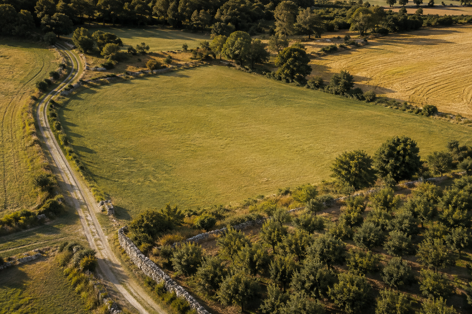
Tap the map or search a reference.
Request one parcel from the selected national provider. Boundara shows the source and retrieval time without exposing ownership data.
 Boundara
A field atlas for Europe
Boundara turns official cadastral sources into a clear field record: find a boundary, measure it, add what you observe, and keep it with you.
Official public sources across
01 / FROM SOURCE TO FIELD RECORD
Boundara keeps the official source visible while giving you practical tools for the work that happens around it.
Locate
Request one parcel from the selected national provider. Boundara shows the source and retrieval time without exposing ownership data.
Measure
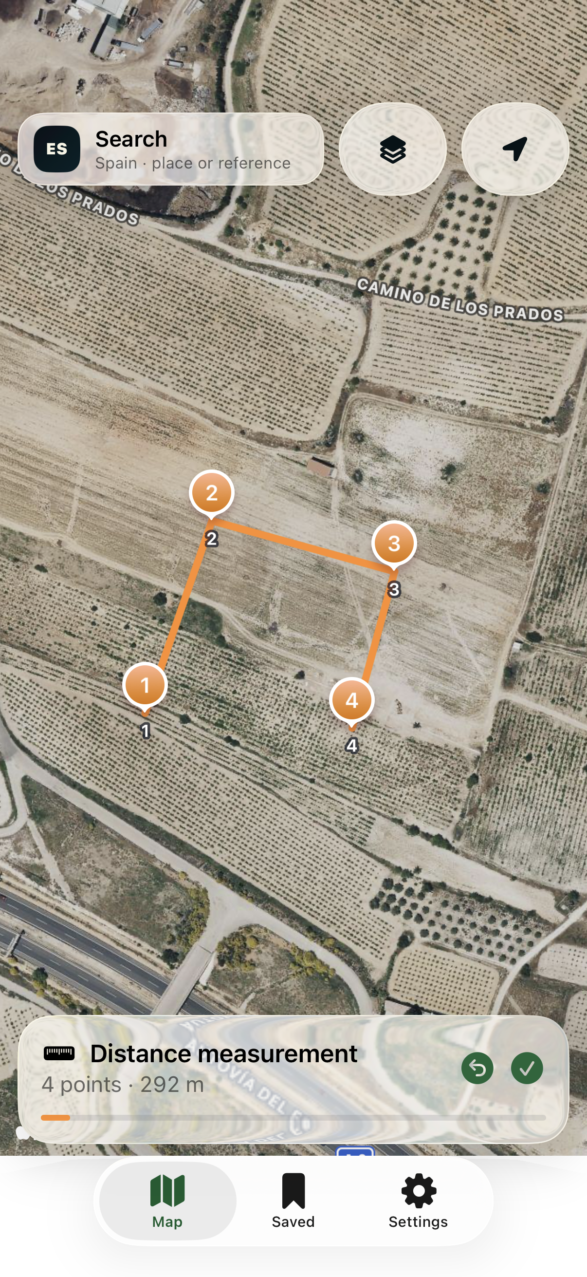
Trace distance and area directly on the map, then compare your visual measurement with the public parcel data.
Keep Boundara Pro
Name the parcel, add notes and photos, reopen it offline, or export an attributed PDF, GeoJSON, or KML file.
02 / START FREE, KEEP GROWING
Free includes three real lookups and measurement. Pro removes the lookup and save limits.
No account, advertising, or subscription.
One-time in-app purchase. The App Store shows your local price before confirmation.
03 / PRIVATE BY ARCHITECTURE
Saved parcels, names, notes, and copied field photos stay inside Boundara on your device. Network requests happen only when you ask for maps, official data, or an Apple purchase check.
04 / TRANSPARENT SOURCING
Boundara transforms point-level public results for field use and preserves attribution in supported exports. It is independent from every administration and data provider.
Review sources, coverage, and licences
IPHONE · IOS 17 OR LATER
Free to download · Optional lifetime Pro unlock in the app